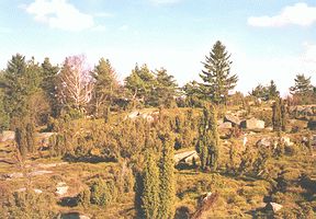
The Českomoravská Vrchovina (Czech-Moravian Uplands) is the large hillocky area (11,750 square km) in the southern part of the Czech Republic and it stretches across the Czech-Moravian boundary. The altitude of the South Bohemian part of the Českomoravská Vrchovina is between 500 - 600 m a.s.l. with several higher peaks over 700 m and sporadically some over 800 m.
Českomoravská Vrchovina is divided into smaller parts. Only some of them exted to South Bohemia. The western part of the Křemešnická Vrchovina (Křemešník Uplands) with the highest peak Křemešník (765 m) extends to the region south-west of the town Pelhřimov.
The Javořická Vrchovina (Javořice Uplands) with the highest peak Javořice (837 m) lies north-west of the town Telč.
The Pacovská Pahorkatina (Pacov Hillycountry) with the highest peak Strážiště (744 m) extends to the surroundings of the town Pacov.
The Novobystřická Vrchovina (Nová Bystřice Uplands) is the area around the small town Nová Bystřice between the small town Kunžak and the Landštejn castle. Its highest peak is Vysoký Kámen hill (High Stone - 738 m).
The Želivská Pahorkatina (Želiv Hillycountry) and Humpolecká Vrchovina (Humpolec Uplands) are the areas in the surroundings of the towns Želiv and Humpolec. Their highest hills are outside South Bohemia.
|
|
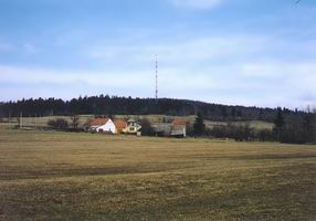
Several parts of the Českomoravská Vrchovina are used for winter sports (e.g. Křemešník hill and its surroundings).