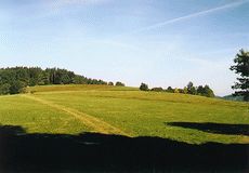
The Lišovský Práh (Lišov Threshold) is the hillycountry, which forms the natural dividing line between the Českobudějovická Pánev (České Budějovice Basin) and Třeboňská Pánev (Třeboň Basin). Its absolute altitude is between 350 - 550 m a.s.l., but the relative elevation is only 50 - 100 m.
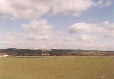
The join of villages Borovany, Lišov and Ševětín leads approximately along the eastern border of the Lišovský Práh (or the western part of the Třeboňská Pánev). The connecting line among the towns and villages Rudolfov, Hosín, Hluboká nad Vltavou, Týn nad Vltavou can approximately indicates the western border of the hillycountry.
The highest peaks of the hillycountry are hills Větrník (568 m), near the small town Lišov, and Baba (Beldame - 570 m), west of the village Ševětín.
|
|