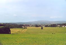
Českobudějovická Pánev (České Budějovice Basin) is the flatland around the town České Budějovice, which lies in the north-western direction toward the towns Písek and Strakonice. Its average elevation is 400 - 450 m a.s.l. The eastern border partially leads along the Vltava river (from south to the town Týn nad Vltavou). It adjoins with the Třeboňská Pánev (Třeboň Basin) on the east and they are divided by the narrow hillycountry called Lišovský Práh (Lišov Threshold). The western boundary is the join of towns Strakonice, Vodňany and Netolice.
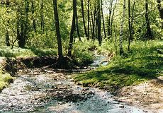
The Českobudějovická Pánev belongs to the river basins of the Vltava and Blanice rivers. It is full of ponds, which were founded in the Middle Ages on the tributaries of these rivers. The best known are (e.g.) Bezdrev pond and Munický Rybník (Munice Pond) near the castle town Hluboká nad Vltavou, Dehtář pond near Netolice, Volešek pond (near the small village Plástovice), etc.
|
|
The towns and many more places of interest can be seen in this area: the rafter's village Purkarec and the neighbouring Karlův Hrádek castle, the small town Zliv, some small villages with very well preserved houses in the style of the so-called rural South Bohemian Baroque (Plástovice, Holašovice, ...), etc.